When Storm AmyUnited Kingdom slammed the British Isles on Saturday, October 4, 2025, Transport for Wales was forced to rewrite its timetable on the fly, leaving commuters scrambling for alternative routes.
Weather warnings and the raw power of the storm
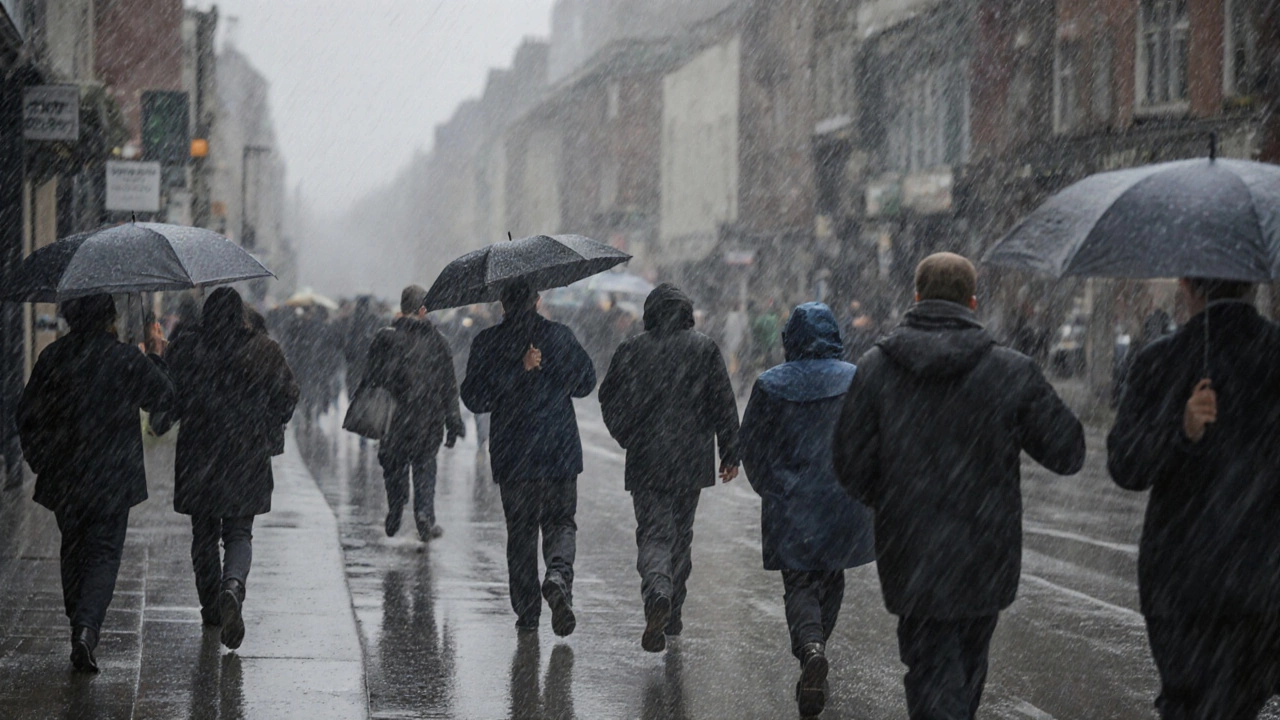
The Met Office Met Office rolled out a blanket of yellow warnings across the entire UK at 06:00 GMT, citing wind gusts flirting with the 100 mph mark. The most ferocious gust was logged on Friday night on Tiree in the Hebrides, where an anemometer recorded a peak of 96 mph. Northern Ireland wasn’t spared – a provisional October record of 92 mph was measured at Magilligan in County Londonderry.
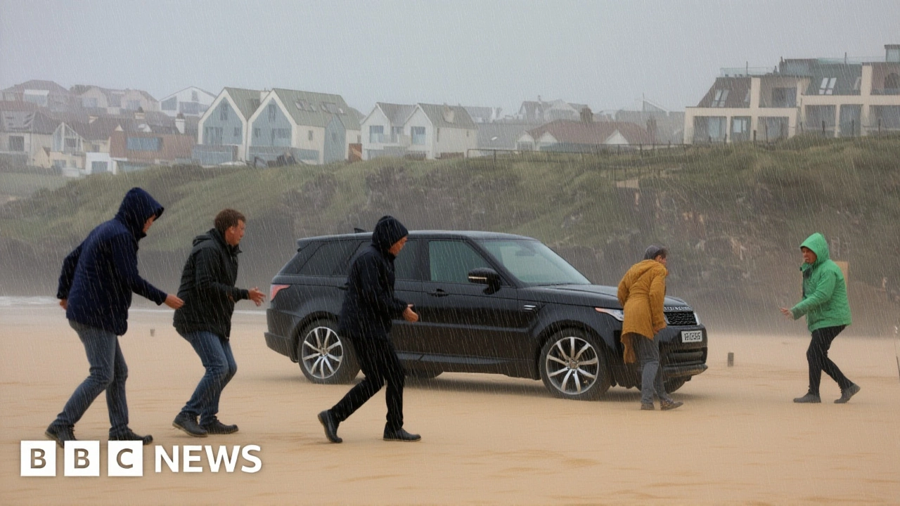
Across Scotland, amber warnings lingered until 21:00 GMT, with the Highlands and Aberdeenshire braced for "damaging" winds exceeding 90 mph. The storm’s rain bands dumped upwards of 80 mm in parts of western Scotland, flooding low‑lying roads and snapping power lines.
Transport for Wales: a cascade of service changes
At 07:10 GMT, the rail operator Transport for Wales confirmed that trains linking Manchester Piccadilly/Manchester Airport with North Wales would run only as far as Warrington Bank Quay. Passengers could hop onto Northern services from Chester to Manchester Airport or jump onto a TransPennine Express between Warrington Central and Manchester Piccadilly – all at no extra charge.
“Safety comes first,” said a spokesperson for Transport for Wales in a brief telephone interview. “Our teams are monitoring the situation round‑the‑clock and will keep travellers informed as the weather evolves.” The operator also warned that tickets could be eligible for compensation if journeys were delayed beyond the scheduled arrival time, urging customers to retain both tickets and journey logs.
Knocking on doors beyond Wales – a UK‑wide scramble
While Wales wrestled with the rail reshuffle, Scotland endured a night of chaos. Road closures in Inverness and Aberdeen left thousands stranded, and power outages hit roughly 12,000 households across the Highlands. In England, the rain‑soaked Pennines saw several minor landslides that forced the A66 to close for three hours.
Across the Irish Sea, tragedy struck. Irish police reported that an unnamed man lost his life in a weather‑related incident near Letterkenny, County Donegal, shortly after 16:15 GMT on Friday. The victim’s death was linked to the onset of Storm Amy, highlighting how the storm’s reach extended well beyond mainland Britain.
Official response and what commuters should do
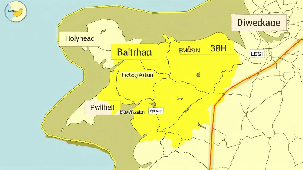
Network Rail’s specialist weather team worked alongside the Met Office, constantly flagging the most vulnerable sections of track. Their real‑time dashboards indicated that the Barmouth bridge near Tywyn suffered a boat collision, halting services between Machynlleth and Pwllheli until at least 12:00 GMT on Saturday.
Travelers were repeatedly urged to check the National Rail Enquiries journey planner before setting off. “We’re seeing a mix of cancellations, delays, and rerouted services,” explained a senior planner at National Rail. “If you’re booked on a train that’s been affected, head online or use the app – it’s the fastest way to see updated options.”
Looking ahead – when will the sky clear?
Forecasters anticipate a gradual easing of rain and wind Thursday night, with sunny spells promised for much of southern England and Wales on Sunday morning. However, the northeast of Scotland will still wrestle with gusts of up to 80 mph until about 09:00 GMT Sunday, as a lingering yellow wind warning stays in place for the Orkney and Shetland Islands, the Highlands, Aberdeenshire, and Moray.
For the rail network, normal service is projected to resume by late Monday, provided no further severe weather surprises pop up. In the meantime, Transport for Wales says it will continue to honour alternative routing and will review compensation claims on a case‑by‑case basis.
Key Facts
- Storm Amy began on 3 October 2025 and peaked Saturday, 4 October.
- Maximum gust: 96 mph on Tiree (Hebrides).
- Transport for Wales cut Manchester–North Wales services to Warrington Bank Quay only.
- One fatality reported near Letterkenny, County Donegal.
- Amber wind warning persisted in Scotland until 21:00 GMT Saturday.
Frequently Asked Questions
How are passengers compensated for delayed journeys?
Transport for Wales has said you can claim a refund or voucher if your train arrives more than 30 minutes late. Keep your ticket and note the scheduled vs. actual arrival times; you’ll need both when you submit a claim through their online portal.
What alternative routes are available between Manchester and North Wales?
Travelers can use Northern services from Chester to Manchester Airport, or hop on a TransPennine Express that runs between Warrington Central and Manchester Piccadilly. Both options are offered at no extra charge while the disruption lasts.
Will the storm affect flights from Manchester Airport?
Air traffic control at Manchester Airport issued a temporary hold on departures between 08:00 and 11:00 GMT on Saturday, but most flights resumed by early afternoon. Passengers should still check with their airline for the latest status.
What regions will still see strong winds on Sunday?
The Met Office warned that northeast Scotland, including the Highlands, Aberdeenshire, and the Orkney and Shetland Islands, will continue to face gusts near 80 mph until around 09:00 GMT Sunday. Elsewhere, conditions are expected to improve markedly.
Why did the bridge at Barmouth collapse?
A small vessel struck the railway bridge near Tywyn during high tide, causing structural damage that forced the suspension of services between Machynlleth and Pwllheli. Repairs are scheduled for completion by early Monday.